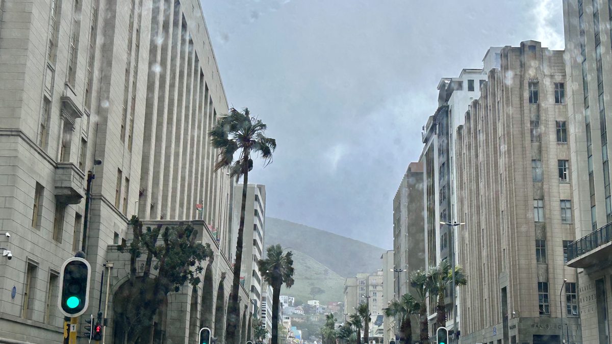
CAPE TOWN. – A wind warning for Cape Town and the western parts of the Western Cape has been issued as a cut-off low-pressure system develops over the western interior on Thursday.
The South African Weather Service (SAWS) has issued a yellow level 2 warning for damaging wind for the western parts of the province. This applies from Thursday afternoon and lasts until Friday. According to the weather service, the wind can damage temporary structures and settlements, and disrupt transport routes and travel services.
What the wind warning for Cape Town means
In Cape Town itself, a south-easterly wind of about 35 km/h is expected, with wind gusts that could reach approximately 80 km/h on Thursday. The city can expect a maximum temperature of close to 17 °C, with a high chance of rain during the course of the day and a further chance of showers tonight.
Level 4 warnings for inland and coast
A yellow level 4 warning for damaging wind applies until Friday for the Namakwa district in the Northern Cape, as well as the Cape Winelands and Central Karoo districts in the Western Cape. SAWS warns that this wind can cause interruptions to power, communication and other services, damage settlements and cause injuries when debris is blown around. High vehicles on exposed routes could also be affected by crosswinds.
Along the coast a yellow level 4 warning for damaging wind and waves applies between Alexandersbay and Plettenberg Bay until Friday. Harbours can be disrupted and navigation at sea can become dangerous.
A separate yellow level 4 warning for disruptive rainfall applies for the eastern parts of the Overberg district, the Garden Route, and the Langeberg and Laingsburg municipalities. Roads and settlements could flood and traffic could be severely disrupted.
Cold and wet conditions continue Friday
According to SAWS, cold to very cold, wet and windy conditions could occur in places over the Namakwa district and the interior of the Western Cape on Friday. Over high-lying areas, maximum temperatures could remain below 10 °C in places.
Strong to damaging inland wind is also possible, while gale-force wind could hit the south-western and southern coastal areas. Waves of approximately 4.5 to 5.5 metres could pose a risk to coastal activities and coastal infrastructure.
Residents are advised to secure loose objects outside, drive carefully — especially where branches and other debris could land on roads — and keep up to date with SAWS's latest forecasts and warnings.
Power outages remain one of the biggest risks during such conditions. Read also: Cape Town buys cheaper power than Eskom for the first time.
This article is an automatic English translation of a Nuusflits article originally published in Afrikaans. Read the Afrikaans original.