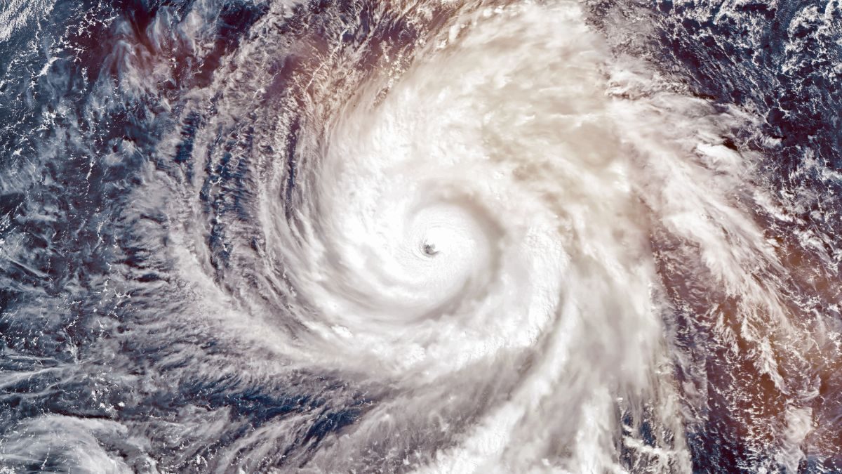
A severe weather warning for South Africa applies on Saturday over large parts of the interior, with heavy thunderstorms, hail, strong wind and possible flooding expected.
The South African Weather Service (SAWS) has issued an orange level 5 warning for severe thunderstorms over the central parts of the Northern Cape. The warning is valid until 23:59 on Saturday, 5 September.
The stormy conditions are caused by a cut-off low pressure system moving over the country.
Weather warning South Africa: which areas are under which level
The orange level 5 warning was expanded on Friday to nine Northern Cape municipalities and extended to Saturday. It includes Kuruman, Kathu, Postmasburg and Kimberley.
The SAWS warns that heavy rain can cause flooding of vulnerable settlements, roads and bridges, while strong gusts of wind and hail can cause damage to structures. Trees can be uprooted and municipal services can be disrupted by excessive lightning activity.
A yellow level 4 warning for severe thunderstorms applies over the central and eastern parts of the Northern Cape, as well as the extreme western parts of the North West. Rainfall of between 10 mm and 30 mm is expected in that area, together with wind of between 60 km/h and 80 km/h. Gusts can reach 90 km/h to 100 km/h.
Although the level 4 warning indicates higher wind speeds than the level 5 warning, the weather service's impact-based levels are determined by the combined probability and expected consequences of the weather, and not by a single measurement such as wind speed or rainfall.
A yellow level 2 warning for severe thunderstorms applies over the Free State and most of the North West, as well as southern Gauteng and the southwestern parts of Mpumalanga.
Gauteng: damage already reported
Gauteng can expect a cloudy and cool Saturday with scattered showers and thundershowers, and a rain chance of approximately 60% in places.
Johannesburg's Emergency Management Services (EMS) has advised residents to remain vigilant. "As a city we remain on high alert together with our specialised rescue unit, which is ready to respond to water-related emergencies," EMS spokesperson Kagiso Phasha said.
"We request motorists to reduce speed, maintain a safe following distance and avoid flooded roads. Pedestrians must not walk through flooded areas and must stay away from fast-flowing water."
On Friday severe weather already caused disruption in Johannesburg. Trees blocked roads, and a tree fell on a taxi in Langlaagte. A vehicle from the Johannesburg Metropolitan Police Department (JMPD) was also damaged.
North West and Free State
The North West can expect a cloudy, windy and cool to warm day with scattered showers and thunderstorms, which will be more widespread in the western parts.
The Free State will experience similar conditions, with scattered showers and thunderstorms and rain chances of approximately 60% in many areas.
Northern Cape at greatest risk
The most serious warning applies to the Northern Cape, where rainfall coverage is expected to be widespread to scattered over the central and eastern parts of the province. In the heart of the storm area the rain chance is about 80%.
Residents are advised to avoid low-lying areas and flooded roads, secure loose objects around their homes and stay away from fast-flowing water.
Strong wind and dangerous seas
The stormy weather is not limited to the interior. Damaging wind and waves are expected between Alexandersbay and Plettenberg Bay.
A yellow level 4 warning for damaging wind applies over the western Northern Cape, the central and northeastern Western Cape and most of KwaZulu-Natal, except the southwest. The SAWS warns that high-sided vehicles on routes with crosswind can struggle.
The eThekwini municipality has placed its disaster management and emergency services teams on high alert after wind of up to 90 km/h is forecast. Boat owners are advised to seek shelter for their vessels, while residents have been warned to stay away from coastal and harbour activities.
Snow and cold in the Eastern Cape
Very cold conditions are expected in places over the Chris Hani and Joe Gqabi district municipalities. Light snowfall is possible over the extreme northeastern escarpment of the Eastern Cape, while widespread showers and thundershowers over parts of the province are forecast.
Mpumalanga can expect fog along the escarpment, with isolated showers and thundershowers later. Similar conditions are forecast in Limpopo. KwaZulu-Natal can expect a cold to cool and cloudy day with isolated rain and showers.
Test match under threat
Thunderstorms and heavy rain are expected in Johannesburg around the time the Springboks take on the All Blacks on Saturday afternoon at FNB Stadium. Kick-off is shortly after 17:00. The conditions pose a risk for tens of thousands of spectators travelling to the stadium.
What residents should do
The weather service has advised South Africans to keep up with the latest warnings, as conditions can change rapidly. The government has asked residents to take precautionary measures and avoid unnecessary travel.
Motorists must reduce speed during heavy rain, maintain a greater following distance, switch on their lights and never attempt to drive through fast-flowing water or water of unknown depth.
Johannesburg residents can report life-threatening emergencies to the city's command and control centre at 011 375 5911.
Also read: Various weather warnings issued for today and KZN weather warning: severe thunderstorms on Saturday.
Source: South African Weather Service, Johannesburg EMS, eThekwini municipality
This article is an automatic English translation of a Nuusflits article originally published in Afrikaans. Read the Afrikaans original.